Introduction to Smart Farming
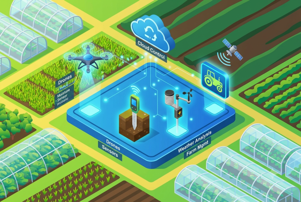
The world’s food system has to sustain nearly 10 billion people by 2050. Farming has always been a gamble against the weather, changing soil and unexpected pest attacks. Today, science and technology have provided marvelous tools, such as discussed in collaborative robots to make the work easier. Similarly, the Internet of Things (IoT) – which is fueling the smart farming phenomenon and precision agriculture – is altering that equation. This depicts the role of IoT in agriculture.
IoT in agriculture combines real-time sensors, wireless networks, drones, and cloud analytics. This eliminates end-of-season surprises and provides continuous, data-driven insights. New studies reveal significant efficiency in precision watering through smart farming systems. This can reduce water consumption and improve early disease detection (Soussi, 2024; Miller, 2025). Fortunately, innovative and free or freemium digital platforms are emerging to make IoT sensors available for farmers.
But the transition from traditional farming methods towards tech-intensive, high-yield cultivation comes with practical challenges. For example, connectivity in rural areas, initial investments, and interoperability issues. This guide provides an analysis of the most popular, free, and premium agriculture sensors.
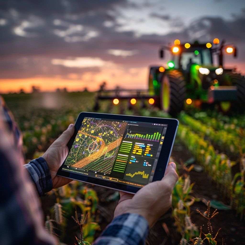
From simple, no-hardware remote sensing to lab-grade ground data. Therefore, here’s an unbiased report on the current smart farming software platforms that are showing real success in the field.
Best Smart Farming Tools
1. Plantix (Smart Farming Tool for AI Crop Disease Diagnosis)
Plantix is a free mobile app where farmers can upload a picture of a diseased leaf or stem. The app will give an instant AI-based diagnosis as well as specific treatment recommendations. It has now become one of the most downloaded agri-tech apps in the world for smart agriculture systems.
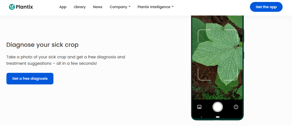
Role: Apply computer vision and a large-scale global database to detect crop anomalies from afar.
Practical Accuracy: Very efficient in common field situations, not so precise with rare pathogens. The app is quick and very accurate for widespread problems on crops with well-known nutritional deficiencies. Overall, the results are greatly affected by photo quality (lights, shadows, blur). It is recommended for use as a “first opinion” and not as an alternative to a certified agronomist.
2. Climate FieldView (Best for Equipment & Yield Mapping for Smart Farming)
Bayer’s Climate FieldView is a plug-in hardware device (FieldView Drive) that connects directly to your physical tractor and planter. This generates or sends data directly to your dashboard. Consequently, it has an excellent free tier along with premium upgrades.
Role: Collects data from IoT sensors connected to machines. More efficient to make multi-layered field maps of seed placement, liquid application, and harvest yields.
Practical Accuracy: Excellent at operational logging (95%+ precision). Its yield maps are extremely accurate. They are obtained from data that is directly entered from calibrated machine sensors, not from a remote estimate. The satellite-derived crop health layers are excellent for identifying general trends for smart climate agriculture. However, they are less reliable in highly cloudy environments in comparison to ground-truth measurements.
3. CropX (Best Premium Soil Analytics Platform)
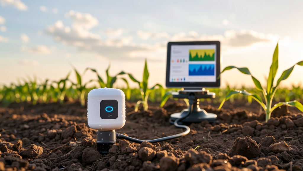
CropX is a combination of physical and easy-to-install soil probes. Furthermore, this offers effective cloud analytics to inform irrigation and nutrient application decisions for farmers seeking to maximize resource use.
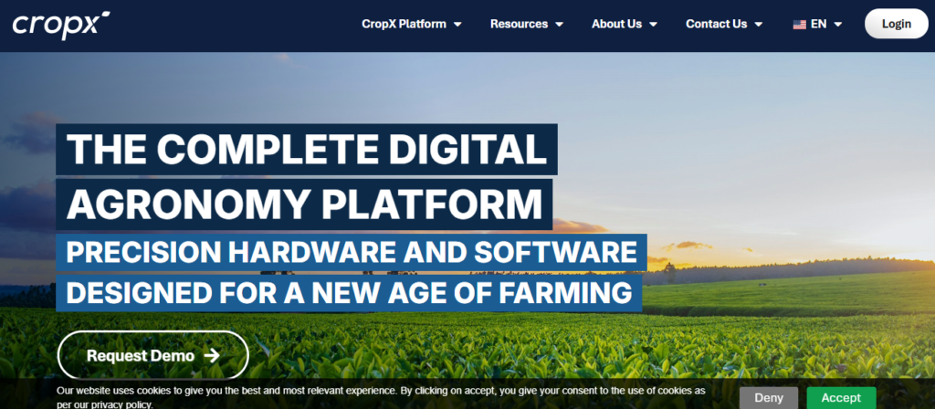
Role: Moisture, temperature, and electrical conductivity are measured by the underground sensor grids. Furthermore, the data is then transmitted via a cellular network in real time.
Practical Accuracy: Sensor-level precision. Therefore, CropsX probes have extremely accurate physical data pulling for smart-farming technologies. The small disadvantage is that a small number of probes are supposed to cover zones. Thus, it is critical for its successful use for correct placement of probes and soil zoning.
4. Farmonaut (Budget-Friendly Satellite & AI Advisory)
Farmonaut offers a way to monitor the health of crops, soil moisture, and weather conditions remotely. This doesnot have to install hardware on-site. However, it has an incredibly low-cost entry model as well as its AI farming system — “Jeevn AI”.
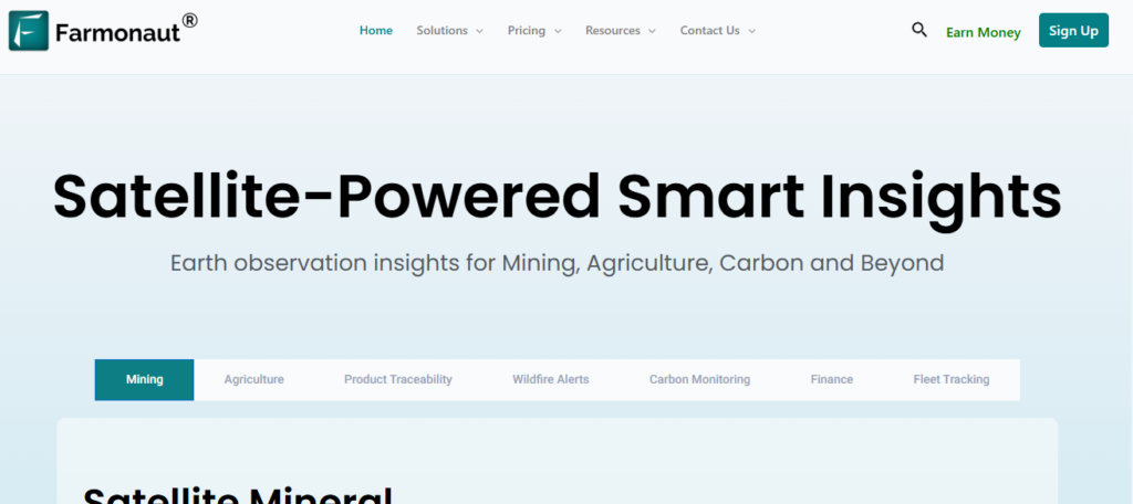
Role: Leverages multispectral satellite images and AI modeling to deliver field insights at a lower cost than traditional hardware.
Practical Accuracy: Very good at trend monitoring on a large scale for efficient AI in farming. Unlike humans, Farmonaut is very good at detecting stress patterns in large fields. It is based on satellite passes, so it is less resolute than ground-based probes. Thus, this reduces the delays for image production.
5. OneSoil (Best Free Satellite Field Monitoring)
With free NDVI (vegetation index) mapping and basic weather forecasting, OneSoil uses data from satellites provided by the European Space Agency (ESA) to give smaller farms a low-cost way of getting into precision AI for agriculture.
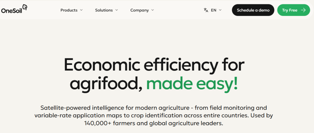
Role: Remote sensing by automation and highlighting of the field performance and mapping of the crop rotation history.
Practical Accuracy: Very directional and accurate in identifying relative differences. Ideal for determining which part of a field is producing less than the other parts. But if there is no local ground sensor, the free data offers great direction but not hyper-local data.
6. ThingsBoard (Open-Source Smart Farming Backbone)
ThingsBoard’s Community Edition is a very strong open-source and free software platform. Tech-savvy farmers can create custom IoT sensors. Meanwhile, Arduino, Raspberry Pi, and LoRaWAN enable tailored agricultural monitoring.
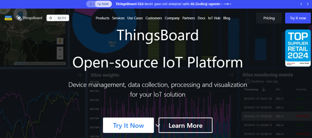
Role: Collects data from physical devices, serves as a dashboard manager, and implements rules over custom physical devices.
Practical Accuracy: It’s purely dependent on the hardware. However, ThingsBoard is not the source of data generation. It’s a tool that processes data. As a result, it’s a software backbone. This means its system uptime, data capabilities, and automatic alerting system are extremely stable.
Conclusion
As it turns out, there’s a trend when developing a modern machine learning in farming strategy. More accuracy from a tool, the higher the cost of deployment or physical input, such as machinery, etc. In contrast, software tools derived from satellites sacrifice a bit of accuracy. This can target much larger scales, in a very fast time frame, and with zero upfront costs.
In any real-world implementation, the most robust and profitable ‘smart farms’ make no use of a single data stream. The best approach combines satellite and ground-based tools. Together, they provide comprehensive farm monitoring. IoT in agriculture is no longer a future concept. It is a practical solution for sustainable, high-productivity farming.